OBSGESSION Fieldwork and Airborne Imaging in the Swiss Alps
This year, OBSGESSION carried out a field campaign spanning the alpine grasslands of the Swiss National Park and the forests of the mountain ridge Lägern. It combined traditional ecological methods with state-of-the-art airborne technology. Over the summer of 2024, our research teams conducted fieldwork, gathering plenty of data on plant traits while a flight campaign with an imaging spectroscopy sensor was carried out.
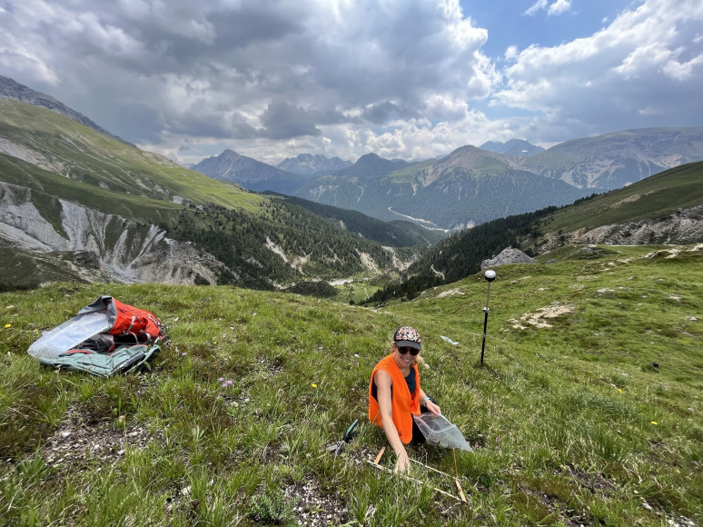
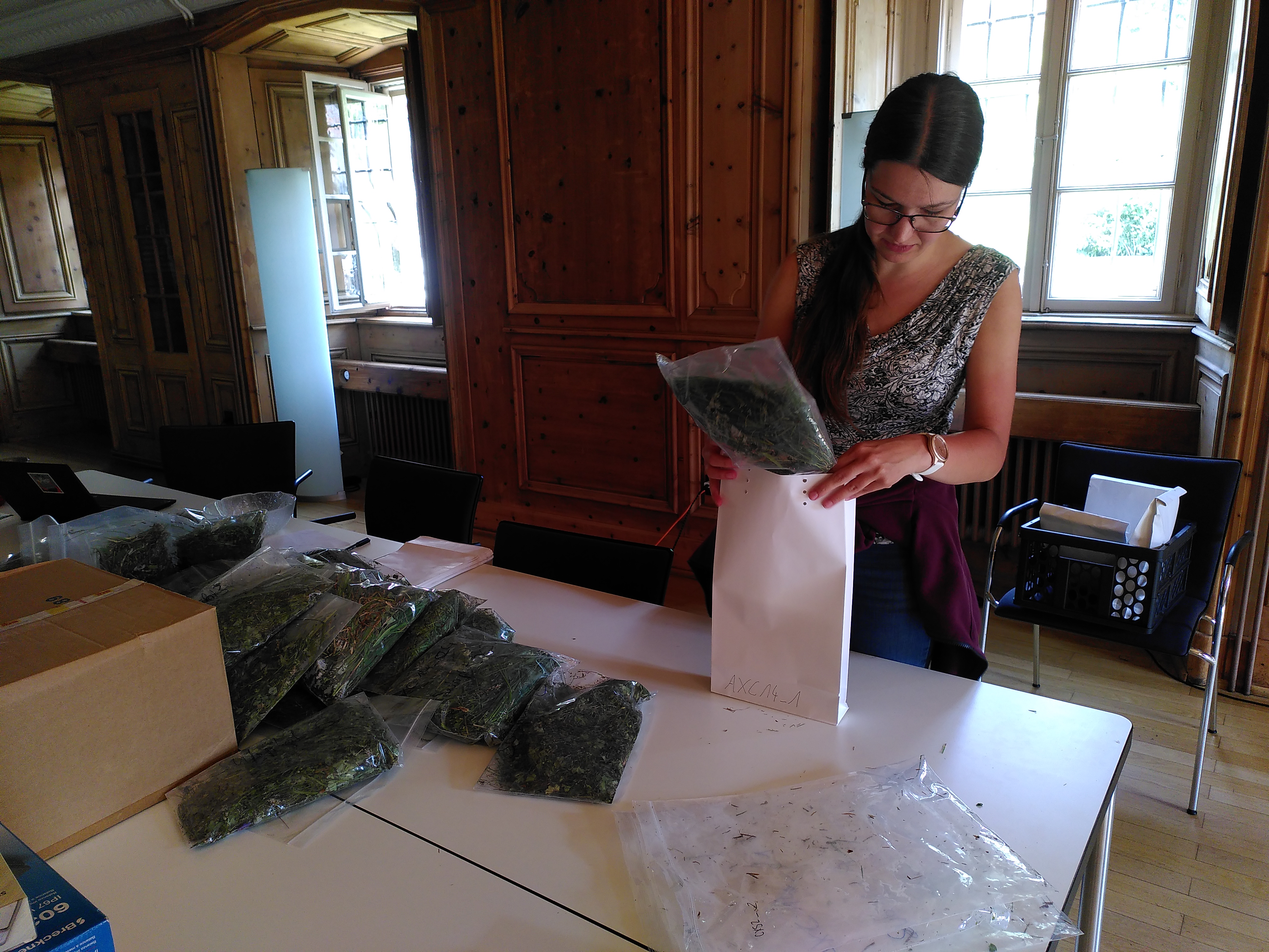
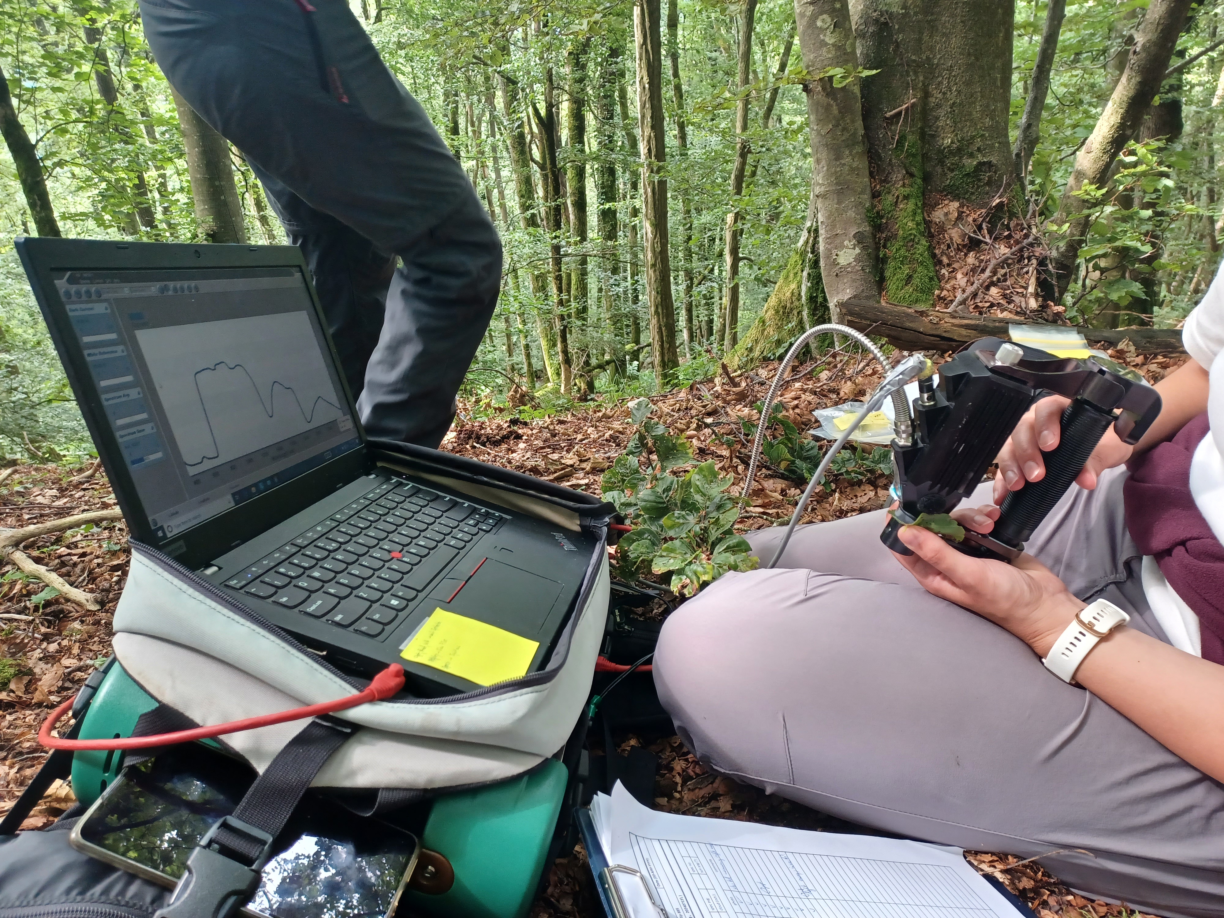
In the grasslands, we established 80 plots where detailed measurements of plant communities were taken. Teams collected biomass samples, which were then analyzed in the laboratory for key functional traits like nitrogen, potassium, and lignin content. In situ canopy spectral reflectance measurements were taken using field spectrometers to capture the light reflected by the plants. In addition, species-specific leaf spectra were gathered from the most abundant grassland species, with a total of 486 samples spanning 97 species. This rich dataset offers a close-up look at the structure and function of alpine plant communities.

Similarly, our work in the forests focused on the structural and physiological properties of beech trees. With the help of professional tree climbers, we collected optical data from 180 leaves across 18 trees in diverse forest stands and measured traits such as leaf area and mass.
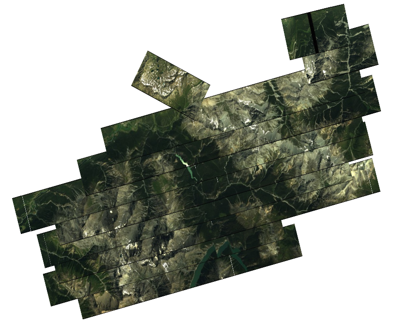
The in situ fieldwork activities were complemented by advanced airborne imaging spectroscopy. The Airborne Visible InfraRed Imaging Spectrometer 4 (AVIRIS-4), operated by the University of Zurich's ARES platform, was deployed to collect high-resolution spectral data across the Swiss National Park and the Lägern ridge. AVIRIS-4 acquires images across a wide spectral range, from 380 to 2490 nm, at sub-meter spatial resolution, enabling detailed analysis of vegetation. This imaging campaign was carefully synchronized with our ground-based efforts to ensure the airborne data could be linked directly to the ecological information gathered in the field.

One of the primary goals of this work is to link the spectral signatures captured by AVIRIS-4 with biodiversity metrics derived from fieldwork. By comparing the airborne data to the in situ plant traits and biomass measurements, we aim to develop new methods for assessing biodiversity across large extents. These techniques could provide a more efficient way to monitor ecosystems and detect changes over time, allowing for more informed conservation strategies.
The combination of intensive fieldwork and cutting-edge airborne imaging is a powerful approach to understanding biodiversity in complex environments like the Swiss National Park and the Lägern ridge. This work will contribute to more accurate and scalable biodiversity monitoring.
