
About
This pilot addresses the need for accurate and up-to-date habitat maps across Europe. It focuses on developing machine learning approaches capable of producing detailed habitat classification maps and detecting habitat changes over time. The work covers the European continent and includes a high-resolution case study in the Netherlands, where detailed deep learning habitat models are developed and evaluated.

Current progress
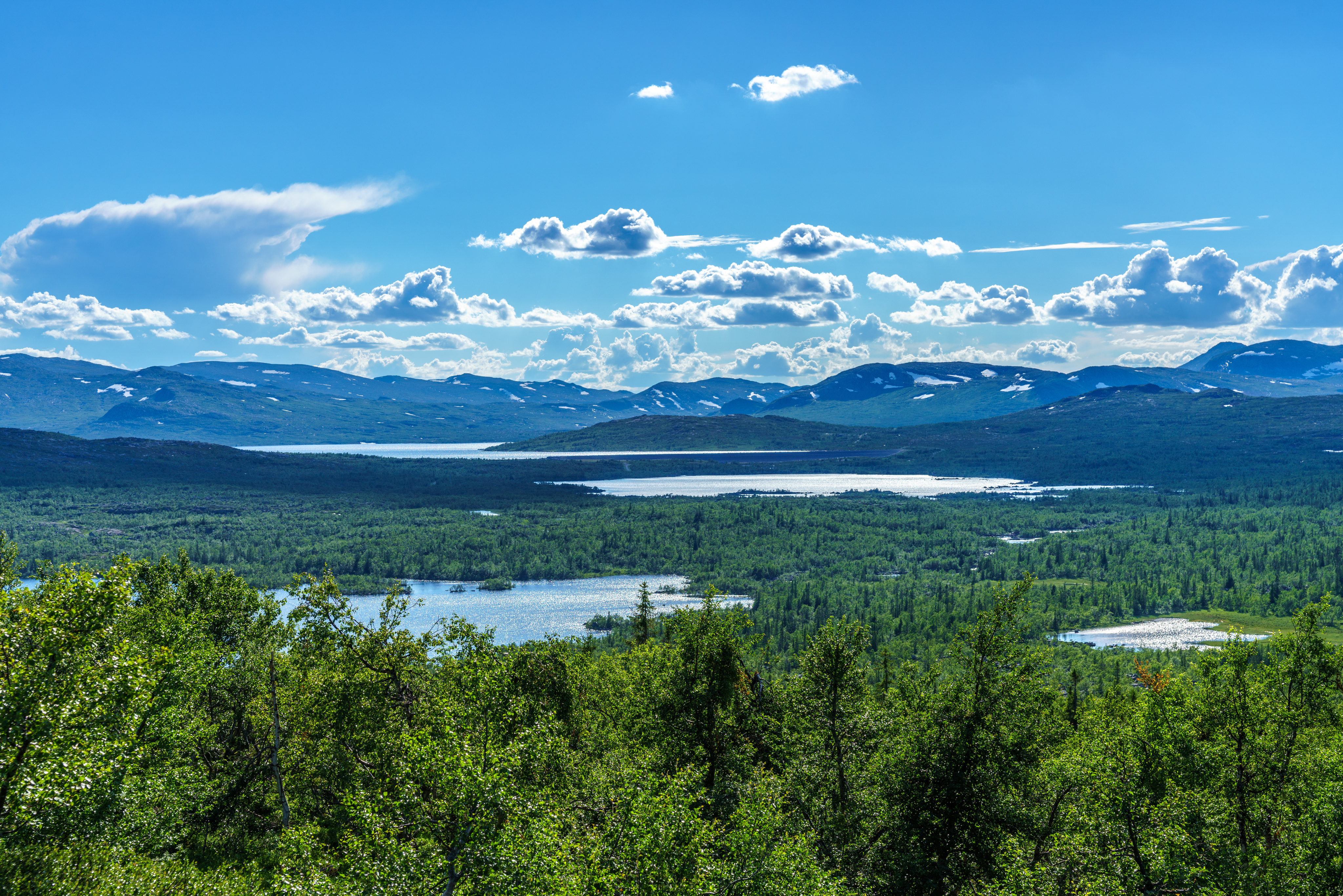
Currently, advanced ML/AI ensemble classification strategy for European habitat mapping (at 100 meter resolution) using the EUNIS habitat types are being optimized. This includes the use of multispectral Sentinel-2 data over entire Europe. For this a processing chain has been created that produces ''cloud-free'' mean monthly Sentinel mosaics from the period 2019-2025. Much efforts have been invested in collection of the in-situ data as well (e.g. additional in-situ data Euope and more specifically Finland after evaluation of the mapping results for Nothern Finland).
For the Netherlands different AI/ML approaches will be tested at 10 meter resolution and thereafter compared. For the Dutch case study the most advanced EO and environmental data are now being processed as input, in addition to collection and anomaly detection of the in-situ data. When working at 10 meter resolution the inaccuaries in the geolocation of the in-situ is becoming a challenge and requires improvements in the input in-situ data.
Moreover, change detection methods for gradual and abrupt changes is in and around habitats is ongoing. Changes in European land cover and associated land cover flows have been translated into pressures that will be analyzed in conjuction with the mapped habitat types. For the gradual changes in habitats time series of EO data (e.g. Landsat data from 1997-2024) have been processed for NP the Hoge Veluwe and Northern Finland. Analysis for gradual changes using algorithms like BFAST are now being tested. The use of AI techniques for change detection on EO data will be tested as well. Specific attention will be also on assessing changes in habitat condition for selected habitats in Northern Finland in coming 6 months.
Scope & background
Reliable habitat information is essential for biodiversity conservation and environmental policy implementation. European biodiversity monitoring and reporting frameworks require consistent information about the distribution and condition of habitats. However, habitat mapping across Europe is challenging because of the diversity of ecosystems, the varying quality of available data, and the need for methods capable of detecting both abrupt and gradual ecological changes in and around habitats. The pilot addresses these challenges by combining remote sensing observations with in-situ vegetation data and environmental datasets to model habitat types with ML/AI technologies based on the EUNIS habitat classification system.
OBSGESSION's contribution
The pilot develops machine learning approaches to improve large-scale habitat mapping. These methods integrate Earth Observation datasets, including satellite imagery and airborne observations, with vegetation plot data collected in the field. Within the OBSGESSION project, the pilot evaluates different modelling approaches and architectures, including deep learning methods, to determine which approaches provide the most accurate habitat classifications. The pilot also explores methods for detecting habitat change over time, allowing the monitoring of ecosystem transformation due to environmental pressures or land-use changes. By linking these modelling approaches to policy frameworks, the pilot helps improve biodiversity monitoring at continental scale.
Expected results
Expected results include the production of high-resolution habitat maps covering Europe and specific regions in Europe, as well as improved methods for monitoring habitat change. In addition, the pilot will provide a systematic comparison of modelling strategies for habitat classification and change detection. The results are expected to support biodiversity monitoring by providing spatially explicit information about habitat distribution and transformation, helping decision-makers identify areas where ecosystems are under pressure or require restoration.
Stakeholders
Stakeholders include European environmental agencies and institutions responsible for biodiversity monitoring and reporting. The results also support policymakers implementing the EU Biodiversity Strategy for 2030 and the Nature Restoration Law. Researchers and conservation planners working on habitat mapping and ecosystem monitoring represent another important user group.
